Friday, August 16 at 12:15 PM
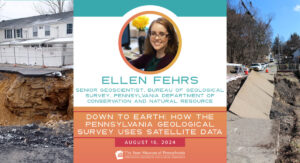
The world is surrounded by satellites. They help us predict the weather, provide internet services, and even carry telescopes for viewing outer space. Many people and organizations around the world use information from satellites—including the Pennsylvania Geological Survey! Join Ellen Fuhrs, Senior Geoscientist with the Pennsylvania Department of Conservation and Natural Resource’s Bureau of Geological Survey, to learn how satellites can help us address landslides and other hazards, predict the occurrence of caves and sinkholes, and plan fieldwork for our geologists. Plus you will learn how to access this data at home!
Presentations begin at 12:15 PM and last approximately 20 minutes followed by a question-and-answer session.
Registration is required to attend the free, virtual program. Click here to register now.
