GRADE 6 AND UP
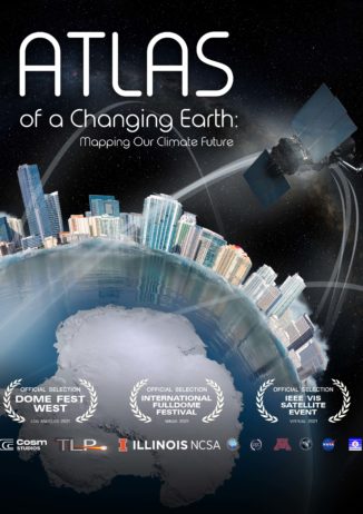
Atlas of a Changing Earth
25 Minutes
Discover how a revolution in one of the most basic of all human enterprises, making of maps, is shedding new light on our planet’s evolution in the wake of rising global temperatures. Using stunning, latest-generation imagery from space, view the dynamic processes causing coastal glaciers in Greenland and Antarctica to melt, and explores how rising seas could threaten coastlines the world over. These striking new images are produced by the confluence of satellites and supercomputers, revealing Earth in a degree of precise detail scarcely imagined a generation ago.
